
Walk a Kent County Street
Use one address at a time. Kent County’s street directory trail is strongest for the public ownership and parcel record, not for a complete household list. The county Property Search supplies the current parcel path, the GIS map shows the parcel in relation to nearby lots, and the Register of Deeds connects a confirmed parcel to recorded instruments. A voter record or a criss-cross directory may add residence evidence, but each has different limits and dates. Keep the street number, direction, municipality, and parcel number together while comparing results.
- Enter the address in Kent County Property Search. Record the parcel identifier, current owner, legal description, and whether the card distinguishes a situs and mailing address.
- Search the same address in the Kent GIS Public Viewer. Check the parcel polygon, address point, subdivision or condominium context, and the adjoining parcels.
- Use the parcel number and legal description to keep similarly named properties apart. A map is context, not a legal survey or an occupancy record.
- Open the relevant instrument through the Register of Deeds self-service index. Confirm the legal description before treating a grantor or grantee as part of the same property trail.
- For a historic Grand Rapids address, check a criss-cross directory and the address-conversion material before drawing a household conclusion. Public voter-file production, where appropriate, is subject to statutory redactions.
That sequence keeps an address search from turning an owner name, a mailing address, or a nearby parcel into a claim about who occupies a home.
Kent County Street Directory Fields
The county property form is designed for an address or a parcel, not a general name browser. Street searches can use a number, a lower and upper range, a street name, and a city, township, or village selection. The county advises searchers to omit punctuation and street-type words, try a direction prefix and then try without it, and test both numeric and spelled-out versions of a numbered street. The form also separates active and inactive parcels and requires a CAPTCHA for an automated request.
| Property Search field | Input | Use for a street search |
|---|---|---|
| Address mode | Mode selector | Activates the street-address form. |
| Street Number | Text | Enter a known number, or pair a range with the street name. |
| Range From / Range To | Text | Sets a lower and upper address range for a street segment. |
| Street Name | Text | Use the base street name; omit punctuation and descriptors such as Avenue or Street. |
| City/Township/Village | Select | Narrows an address to the proper local jurisdiction. |
| Parcel Status | Active / Inactive | Separates current and inactive parcel records. |
| Parcel mode | Five text segments | Uses the parcel reference when the address is uncertain. |
The portal combines Treasurer and Equalization data. It says values are current as of March and that changes processed after the annual cycle appear in April, so the local assessor remains the place to verify a current assessment detail. The captured county form did not expose an owner-name mode or a whole-street export.
Note: A no-match can reflect a direction, suffix, spelling, municipality, inactive status, or CAPTCHA issue rather than an absent parcel.
Grand Rapids Street Search Route
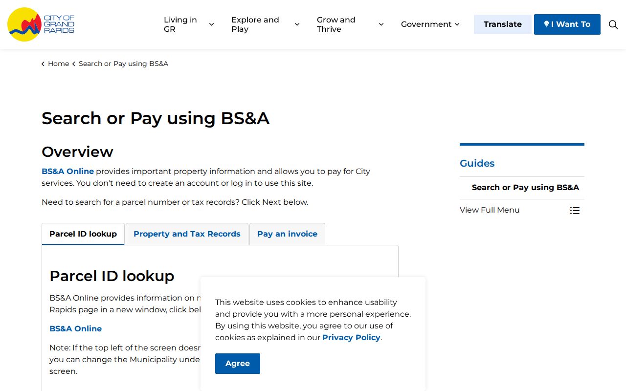
Within Grand Rapids, the city’s free BS&A property lookup offers a different entry point. It supports Address, Name, and Parcel Number modes without an account. Its result list identifies Address, Reference #, and Property-owner Name, then a record opens to Property Information, Tax Information, and Invoices. The captured guide shows city parcel IDs as 12 digits beginning with 41. That city-specific name route is useful when a street directory search begins with a confirmed owner, but it does not make the countywide portal a name-search system.
The following Grand Rapids BS&A guide shows the city interface used for address, name, and parcel-number searches.
Use the result’s reference number with the address and legal description, rather than relying only on a displayed owner name. A property card can identify a current tax record while a deed or directory supplies a different time frame.
Kent County Street Parcel Map
The GIS viewer begins with “Search for an Address,” then maps the result. Its verified layers include Parcels, Subdivisions and Condos, and Address Points. After locating the target, zoom in, note the selected parcel, and visually follow the adjoining polygons when the question concerns a block or a street segment. The county’s mapping service also supports parcel maps, aerials, and composite maps through Equalization / Property Description and Mapping.
GIS is the bridge between a street address and a parcel number. It does not identify residents, establish a legal boundary, or prove that neighboring parcels share an owner or household. The county disclaims a warranty of accuracy, completeness, or usefulness and places responsibility for use on the viewer. When a boundary matters, confirm the record with the office that keeps the legal description.
Situs and Mailing Addresses
A situs address is the location of the parcel. A mailing address is where tax or assessment correspondence goes. They may be the same, but an absentee owner, trust, corporation, or out-of-county owner can use a different mailing address. For that reason, a mailing address can be a useful clue for researching an owner but is not proof that the named person lives at the parcel. A deed uses a legal description, while a directory uses the address printed in that year.
- Parcel
- A county property unit identified for tax and mapping purposes. Its reference number helps join the map, property card, and deed research.
- Situs address
- The street location of the property itself, used by GIS, permits, and many parcel records.
- Plat
- A recorded subdivision map that supplies lot, block, and subdivision context. Some deeds instead use a metes-and-bounds description.
- Criss-cross directory
- A historical directory section arranged from an address to an occupant or business, rather than from a name to an address.
This distinction is the central Kent County street-directory myth: a tax mailing address or a deed owner is not automatically the occupant of the situs property.
Kent County Street Records
Address-keyed sources answer separate questions. Put them side by side rather than treating any single result as a resident roster. Current parcel and GIS data are strong for property identity. Recorded instruments establish transfers and legal-description links. The directory street section is a historic address-to-occupant source. Permit and archive records can date changes at an address, but a listed applicant may be an agent rather than a resident.
| Address-keyed source | Local keeper | Evidence provided | Access and coverage |
|---|---|---|---|
| Assessment / property search | Kent Equalization, Treasurer, and local assessor | Parcel, owner, tax data, address, status, and sometimes separate mailing information | Current-cycle county portal; Grand Rapids BS&A |
| GIS parcel map | Kent GIS / Equalization | Parcel geometry, address points, subdivisions, and nearby parcels | Free current map viewer |
| Recorded instruments | Kent County Register of Deeds | Grantor, grantee, document type, date, legal-description pointer, and image pointer | Online index from January 1, 1970; older material follows library and microfilm routes |
| Appraisal cards and tax rolls | Grand Rapids Archives / Assessor | Owner, legal description, structure details, photographs, and tax history | Appraisal cards 1936–2009; city tax rolls from 1860 |
| Building permits | Grand Rapids Planning / Archives | Address, project type, work dates, and possible applicant or owner | Current Agency Counter route; archived permits circa 1978–1998 |
| Criss-cross directories | GRPL and partner collections | Historic address-to-occupant or business entries | Grand Rapids collection dates from 1856; access varies by volume |
For a past household, the historical street sections are handled in more depth in the Kent County City Directories collections. Keep that historical evidence separate from today’s parcel owner and from a current voter status result.
Kent County Street Deed Chain
The Register of Deeds holds deeds, mortgages, land contracts, liens, and other real-property instruments. The county advises starting with Equalization or the local assessor when the owner is unknown. Its basic online land-record search is free from January 1, 1970. The county’s June 2026 notice lists a $1-per-page charge for downloaded or printed images, plus applicable convenience or handling charges, and advanced access at $25 for 24 hours or $2,000 annually. Confirm the current price before ordering.
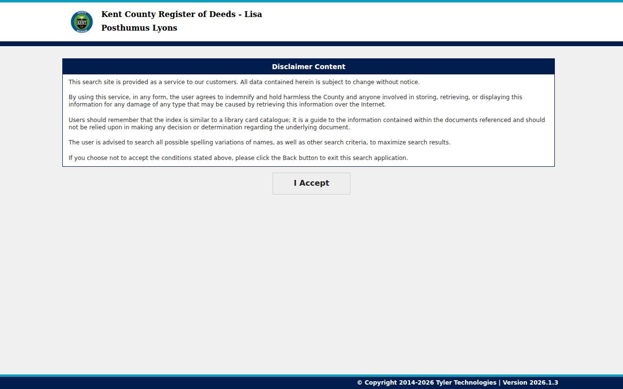
The Kent Register of Deeds entry screen explains that its index is a locator, like a library catalog, rather than the recorded document itself.
Search spelling variants and alternate criteria, then inspect the instrument number and legal description. An older street trail may need deed books, ledgers, tract books, abstracts, microfilm, or GRPL and FamilySearch material because online coverage begins in 1970.
Kent County Street Voter Evidence
Michigan’s Qualified Voter File has a statewide street-address index by statute, but the public-facing Michigan Voter Information Center is a person and registration-status lookup, not a page for browsing everyone on a street. A lawful public-file request may produce permitted voter fields after redaction. The exact current bulk-request form, fee, delivery format, and certification requirements were not captured in the reviewed sources, so confirm them with the appropriate election office before making a request.
Potentially public voter-file fields include name, residence address, mailing address when provided, year of birth, status, registration history, precinct and district assignment, jurisdiction, and participation history. MCL 168.509gg withholds month and day of birth, phone number, driver-license or state-ID number, digitized signature, last four SSN digits, receiving-office identity, declined-registration data, and Address Confidentiality Program applications. PDF reports auto-redact under the state guide, while CSV production needs manual redaction.
People who are not the recorded owner, guests, unregistered people, and protected voters may be missing. A street directory result must therefore remain evidence to compare, never a full list of households.
Note: An inactive or cancelled registration can follow a move, death, duplicate record, voter request, or address-confirmation process.
Kent County Street Number Changes
Grand Rapids rebuilt its street-numbering system in 1912. Earlier numbering used different reference lines, while the new system used Fulton and Division as the baseline. The Sanborn reference shows new numbers above old ones and places even numbers on south and east sides and odd numbers on north and west sides. A directory or map that seems to show the wrong number may simply predate the change.
Before searching a historic street, record the old number, new number, street name, quadrant, cross street, and municipality. The 1912 Polk guide, GRPL’s annotated street index, and Sanborn material are the local bridge tools. Historical finding aids also list renames, including First Avenue to Buckley and Second to Pleasant, but a historical list is not the modern street register. Current renaming questions belong with the city’s street-renaming policy route.
Kent County Street Permit Trails
Address work history can add a date layer to street research. Grand Rapids has current permit and planning routes through Agency Counter and BuildingEye, while the City Archives keeps building permits from about 1978 to 1998, plans from 1982 forward, assessment cards from 1936 to 2009, and tax rolls from 1860. Those are Grand Rapids resources, not a blanket countywide archive. Ask the municipality or township that issued a permit about its own record route.
For older addresses, inspect a criss-cross entry by exact number, then the alphabetic entry and nearby directory years. A directory can identify an occupant or business as printed in that edition, but it does not prove a full household or continuous residence. Pair a number change with the relevant year before moving backward through the street directory.
Kent County Street Directory Limits
A Kent County street directory cannot reveal all occupants. DMV address data is closed under the federal Driver’s Privacy Protection Act. Utility customer lists are not public. Sealed, juvenile, and adoption records are unavailable, and a corporation’s registered office may not be a home. The map shows a parcel relationship, not a social relationship. A recorded owner can differ from a current resident, and the public voter records described above carry statutory redactions and confidentiality protections.
Michigan’s Address Confidentiality Program protects qualifying participants with a substitute address. Respect those protections and take a mismatch back to the record custodian instead of trying to defeat it.
Kent County Street Records Requests
When a needed county record is not online, Kent County accepts a request through its Michigan FOIA public-records route. Describe the address, parcel number, municipality, date range, and record type instead of asking for a list of people. The county describes online, mail, fax, hand-delivery, and verbal routes, with actual search, copy, review, and postage costs and a deposit for estimates over $50. The statutory response period is five business days, with a possible extension.
For deed copies or an older index, the Register of Deeds also accepts in-person and written requests and lists a minimum processing fee. For maps, Equalization / Property Description and Mapping accepts in-person, email, phone, and fax orders. A focused request is more likely to reach the office that actually keeps the street record.