
Kent County Postal ZIP Coverage
Kent County’s official community assessment identifies a core set of 31 postal ZIPs, while official state county ZIP materials add edge and split postal areas. The full table below preserves that distinction. It is a coverage list for county addresses or county-edge postal geography, not a claim that every listed ZIP is entirely within Kent County. The post-office column uses the postal-city label supplied in the research where no named serving station was documented. USPS is the source to check for the route serving a particular address.
| ZIP | Areas covered | Post office / postal label | Notes |
|---|---|---|---|
| 48809 | Belding, eastern county edge, nearby rural area | Belding | County-edge postal geography; verify the exact address. |
| 48815 | Belding-area county edge | Belding area | State map shows split or edge coverage. |
| 48838 | Greenville, northeast edge | Greenville | County-edge postal geography. |
| 49301 | Ada, Forest Hills, nearby rural pockets | Ada | Postal label can cross township boundaries. |
| 49302 | Alto, southeast rural area | Alto | Postal city and township are not identical. |
| 49306 | Ada-area county edge | Ada area | Verify with USPS and GIS. |
| 49315 | Byron Center | Byron Center | Rural or suburban postal area can differ from municipal boundaries. |
| 49316 | Caledonia | Caledonia | Village, township, and postal area differ in places. |
| 49318 | Comstock Park, north county | Comstock Park | Crosses Northview and Plainfield contexts. |
| 49319 | Cedar Springs | Cedar Springs | Northern county community. |
| 49321 | Comstock Park | Comstock Park | Verify the parcel municipality. |
| 49325 | Freeport-area edge | Freeport area | State ZIP map shows county-edge service. |
| 49326 | Gowen | Gowen | Eastern or northeastern rural community. |
| 49327 | Greenville-area edge | Greenville area | Verify the Kent County portion. |
| 49330 | Kent City | Kent City | Northern county community. |
| 49331 | Lowell | Lowell | Eastern county city and postal area. |
| 49333 | Lakeview-area edge | Lakeview area | State map includes county-edge coverage. |
| 49341 | Rockford | Rockford | North county city and postal area. |
| 49343 | Sand Lake | Sand Lake | Northwest rural community. |
| 49345 | Sparta | Sparta | Northwest county city and postal area. |
| 49347 | Smyrna edge area | Smyrna area | Verify the exact county portion. |
| 49348 | Stanton edge area | Stanton area | County portion requires USPS confirmation. |
| 49403 | Cedar Springs edge label | Cedar Springs area | County-edge or split ZIP. |
| 49418 | Grandville and Jenison-area postal coverage | Grandville | Includes addresses outside Grandville city limits. |
| 49435 | Hudsonville-area edge | Hudsonville area | County-edge or split postal geography. |
| 49503 | Central Grand Rapids | Grand Rapids | Downtown and county-seat postal area. |
| 49504 | West Grand Rapids | Grand Rapids | City neighborhoods and boundary edges. |
| 49505 | Northeast Grand Rapids | Grand Rapids | Neighborhood boundaries are different from ZIP boundaries. |
| 49506 | East Grand Rapids and Grand Rapids | Grand Rapids | Documented postal-city and municipality mismatch. |
| 49507 | South Grand Rapids | Grand Rapids | Includes city neighborhoods and adjacent edge areas. |
| 49508 | Kentwood and southeast Grand Rapids area | Kentwood area | Extends across city and township contexts. |
| 49509 | Wyoming and southwest Grand Rapids edge | Wyoming | Postal label is not the parcel municipality. |
| 49512 | Southeast Grand Rapids and Kentwood area | Grand Rapids area | Airport, industrial, and residential geography; verify the parcel. |
| 49519 | Wyoming | Wyoming | Postal area can include edge addresses. |
| 49525 | Northview and north Grand Rapids | Grand Rapids area | ZIP, township, and neighborhood lines differ. |
| 49534 | Walker and west Grand Rapids | Walker / Grand Rapids | County report uses both labels. |
| 49544 | Walker, Northview, north-west area | Walker area | Crosses municipal contexts. |
| 49546 | Ada, Forest Hills, East Grand Rapids-area coverage | East Grand Rapids area | Postal label does not define municipality. |
| 49548 | Cutlerville, Kentwood, Grand Rapids south edge | Grand Rapids area | Split across community and municipal labels. |
County materials link postal geography to community areas, but a result should always be read as an address-level check. The county’s city, township, and village directory is the next local source when a postal label is ambiguous.
Kent County Postal ZIP Verification
USPS postal lookup is the postal authority for checking a single address, the ZIP for a city and state, or the cities attached to a ZIP. The tool has three distinct modes. “ZIP Code by Address” accepts a company field, a required street address, an optional apartment or suite field, city, state, and ZIP Code. It permits an address plus city and state or an address plus ZIP. “By City and State” requires the city and state. “Cities by ZIP Code” requires the ZIP itself.
| USPS mode | Fields captured | Required input | What it confirms |
|---|---|---|---|
| Address mode | Company, Street Address, Apt/Suite/Other, City, State, ZIP | Street Address plus City/State or ZIP | Postal delivery recognition and the ZIP for an address. |
| City and state mode | City, State | City and State | ZIP results associated with the entered postal city and state. |
| ZIP mode | ZIP | ZIP | Cities associated with that postal ZIP. |
The following USPS lookup is the source used to verify postal recognition before comparing Kent County parcel geography.
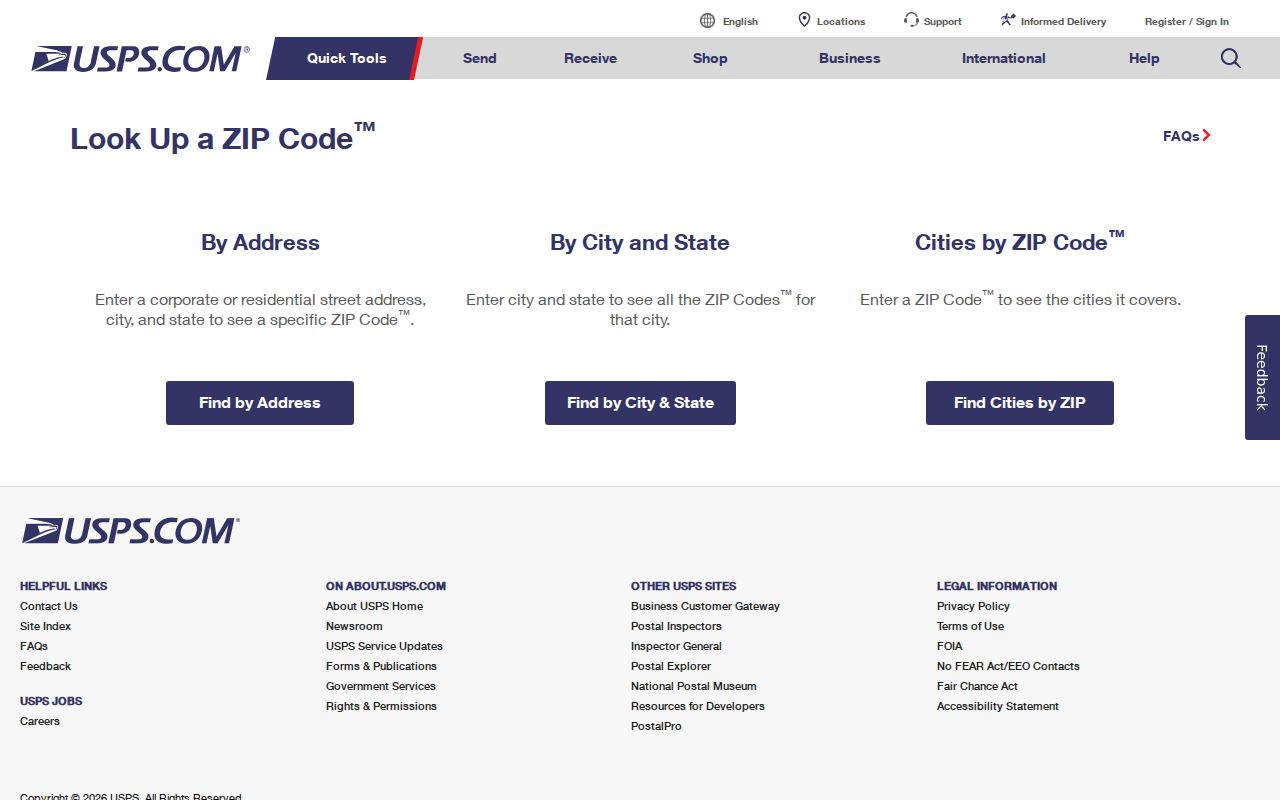
USPS expressly warns that a ZIP result does not confirm that a person or company is at an address. It answers a postal question, not an occupancy question.
Search a Kent County ZIP
A ZIP can narrow a place question, but it does not offer a documented countywide resident filter. Begin with the address when you have it, because the postal system resolves addresses more precisely than a broad ZIP label. Use the sequence below before moving into parcel or directory research.
- Choose the USPS mode that matches the information in hand: a full address, a city and state, or a ZIP.
- Enter the required fields exactly and note the postal city and ZIP returned. Include the apartment or suite when it is part of the address.
- Check the same address in the Kent GIS viewer to see the parcel, address point, and municipal context.
- Use Kent County Property Search or the relevant local assessor to compare the situs address, parcel, and local municipality.
- When a ZIP has narrowed the area to a particular street, use the Kent County By Street directory for the address, parcel, deed, and historical street-record route.
This process keeps a postal label from being mistaken for a municipal boundary or a record of who lives at the location.
Kent County Postal ZIP Mismatches
ZIP boundaries and city limits are different maps. Kent County’s documented examples include 49506, which reaches East Grand Rapids and Grand Rapids, 49418, which includes addresses outside Grandville city limits, 49534, which county materials label with both Walker and Grand Rapids, 49544 across Walker and Northview contexts, and 49548 across Cutlerville, Kentwood, and Grand Rapids south-edge labels. A Grand Rapids postal name can therefore occur outside the City of Grand Rapids, and a city address can carry another community’s postal label.
Annexation and municipal boundary changes can add to the mismatch in older records. For an old address, compare the printed directory label with the applicable year, current GIS municipality, and the local clerk rather than forcing one modern city name onto every record.
Kent County Postal ZIP Portals
The captured local interfaces do not document a way to browse residents or parcels by ZIP. That absence matters. Kent County Property Search exposes address, parcel, status, and city, township, or village fields. Grand Rapids BS&A exposes Address, Name, and Parcel Number. GIS maps parcels and address points. MVIC is a registration-status tool. Use each for its documented purpose, not as a ZIP-wide directory.
| Portal | Captured search fields or mode | ZIP filter documented? | Best use |
|---|---|---|---|
| Kent County Property Search | Street number, range, street name, city/township/village, parcel status, parcel segments | No | Current parcel and assessment-cycle lookup by address or parcel. |
| Grand Rapids BS&A | Address, Name, Parcel Number | No | City property lookup with property, tax, and invoice tabs. |
| Kent GIS Public Viewer | Search for an Address; Parcels, Subdivisions and Condos, Address Points | No captured ZIP filter | Parcel and municipal context for a known address. |
| Michigan Voter Information Center | Public person and registration-status lookup | No public ZIP browse documented | Individual voter status, subject to state limits. |
The county Property Search also requires CAPTCHA for an automated request. The research did not verify a hidden ZIP filter in its city selector or a current GIS ZIP query, so neither should be represented as available.
Note: A portal’s city field narrows a local jurisdiction, while a USPS ZIP field identifies postal geography.
Kent County Postal ZIP Terms
Address records use several keys. Knowing which one is in front of you prevents a postal result from being confused with a parcel or deed reference.
- ZIP code
- A postal routing code used by USPS. It can cross city, township, neighborhood, and county-edge lines.
- ZIP+4
- An added four-digit delivery detail that refines a ZIP for a smaller delivery segment. It is not a municipal boundary.
- PO-box ZIP
- A ZIP assigned for post-office box service. It should not be assumed to describe a street-delivery area.
- Unique ZIP
- A ZIP used for a single organization or delivery arrangement. The research does not identify one for Kent County, so do not infer one from a postal label.
- Carrier route
- A postal delivery grouping used by USPS. It is distinct from a parcel, a voting precinct, or a neighborhood boundary.
- Legal description
- The lot, block, subdivision, or metes-and-bounds description used in a deed. It controls the conveyance, not the postal ZIP.
Kent County ZIP Neighborhoods
Grand Rapids neighborhoods are another map entirely. The city neighborhood-association material names areas such as Creston, West Grand, Heritage Hill, Eastown, East Hills, Baxter, Garfield Park, Alger Heights, and many others. Those civic boundaries help describe an area, but they are not ZIP lines and do not establish a parcel’s municipality. The research identifies 49505 as a northeast Grand Rapids ZIP where neighborhood boundaries differ from the ZIP, and 49525 as another area where ZIP, township, and neighborhood lines differ.
When comparing an address to a neighborhood, pair the postal lookup with the county GIS parcel map and the relevant municipal source. This is especially useful around Walker, Kentwood, Wyoming, East Grand Rapids, Ada, and unincorporated or township areas, where a familiar postal name can hide a different record custodian.
Kent County ZIP Edges
Edge ZIPs deserve the most caution. The research flags 48809, 48838, 49327, 49403, 49435, 49347, and 49348 as county-edge, split, or state-map entries requiring an address check. It also identifies 49325 and 49333 as edge coverage from state map material. A city label in one of those rows should not be read as a statement that every address in the ZIP lies in Kent County.
For rural addresses, confirm the full street address with USPS, then compare the resulting location against GIS and the county’s local-government directory. A postal route can reach across lines that determine property assessment, permits, voting jurisdiction, or archival custody.
Kent County ZIP Privacy
A postal match does not establish an occupant. USPS says its result does not confirm that a person or company is at an address. Property records are strongest for parcel and owner information, not everyone who lives there. Michigan voter information can be subject to public-record rules, but MCL 168.509gg withholds month and day of birth, phone number, identity numbers, signature, and Address Confidentiality Program records. MVIC is not a public ZIP roster.
Use ZIP and address data for lawful personal research, and respect a protected or redacted record. When an address result conflicts with a name, take the question to the public custodian that holds the record instead of treating a postal inference as proof.
Kent County ZIP Checks
Keep the source chain clear: USPS answers whether an address and ZIP match its postal system; Kent GIS locates a parcel and its mapped context; the assessor or property search supplies a current property record; and a municipal or county office resolves the jurisdiction when those labels differ. The county Property Search combines Treasurer and Equalization data, reports values current as of March, and advises verification with the local assessor when changes are processed after the annual cycle.
A ZIP code directory is most useful when it narrows the right place for the next record search. It is not a substitute for the situs address, legal description, property parcel, or the separate privacy rules that apply to a person’s record.